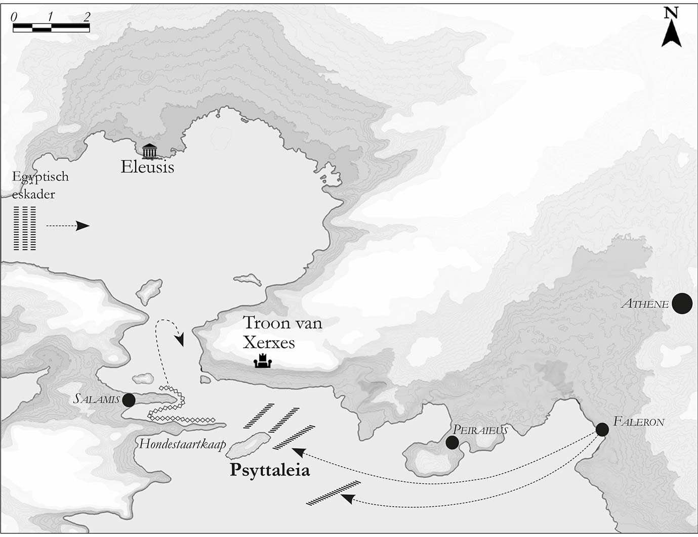
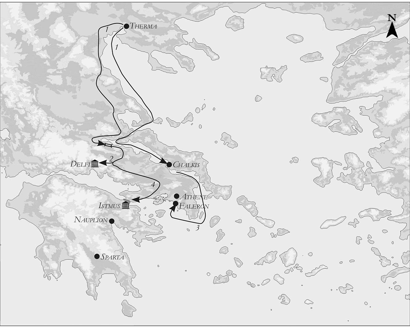
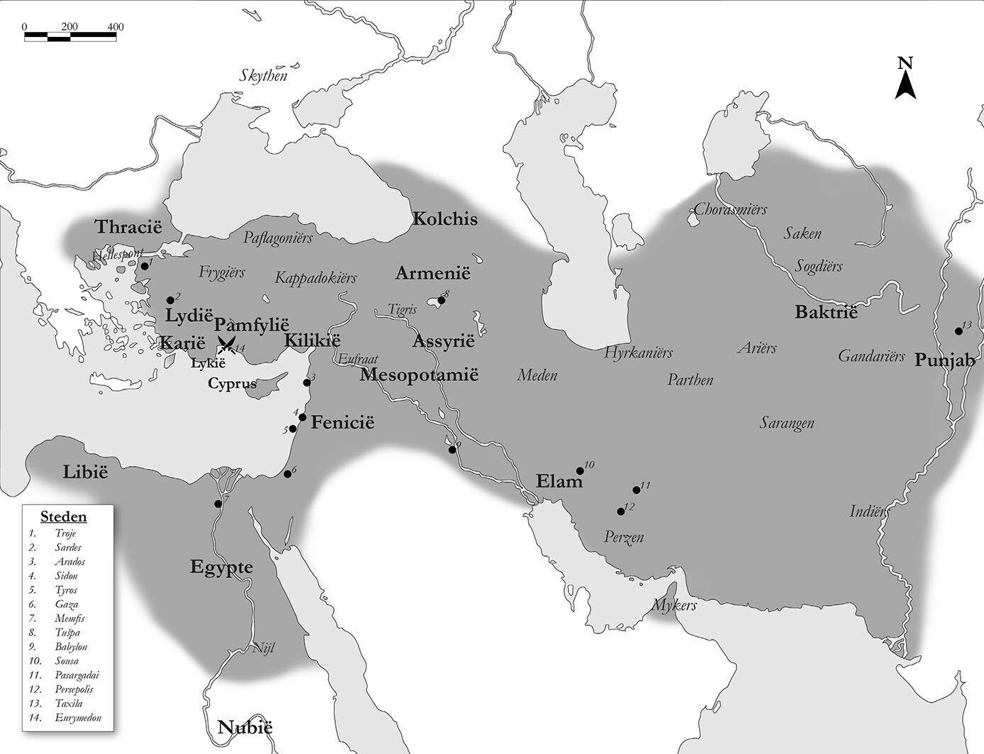
I made the maps for Jona Lenderings latest book, Xerxes in Griekenland. In total 11 maps picturing the Persian Wars around 480 B.C. from the battles at Thermopylae till Salamis. Used satellite data to get the rough but adjusted to 480 B.C.
Here a selection.
You can get the book here: https://www.omniboek.nl/boek/xerxes-in-griekenland/


